Feast or Famine

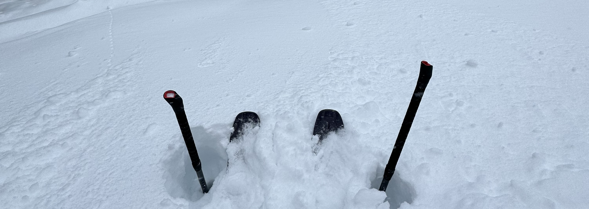
Usually right about the time we start to see a pattern to winter weather and skiing conditions the snow globe gets shaken and changes abound. We have been waiting for that change to happen this winter, but roughly two months into the season we have settled into a very distinct pattern that appears to want to stay. Generally, western North America needs one big snorkel in order to ski and snowless eastern North America and Europe could use the snorkel as it was originally intended.
While we put little faith in early fall predictions of where the snowflakes will land, it is particularly interesting this year to reflect at this point on such predictions. Unfortunately, these predictions are often wrapped up in the somewhat confusing terms of La Nina vs El Nino. Fall predictions sighted a “triple-dip La Nina.” Plain English – the thought was this winter would be our third year in a row of a La Nina pattern. And La Nina is supposed to mean more snow and colder temps for the northwest and northern/central Rockies and less snow and warmer temps for the east (focus here being on North America). The importance of the “triple” aspect of this is if the Nina pattern happens in consecutive years the pattern is supposed to be stronger and more reliable. See La Nina or El Nino Better
Generally, this triple-hippie-dippy Nina thing has thus far played out as predicted. The northwest and Rockies have received the goods. Couple examples – Mt Hood is reporting a mid base of 130″ and total snowfall of 215″ (although some warmer temps have caused several storms to be in the form of rain). Alta is reporting a base depth of 130″ and a whopping season total of 430″. In contrast, eastern North America is in deep doodoo! What precipitation they have had has largely come in the liquid form. Mad River Glen in Vermont (always an interesting bellwether given they rely mostly on natural snow) has been closed much of the year or has operated on a limited basis. Other eastern resorts would be in a similar situation but for fake snow. Killington is reporting a total snowfall of 57 inches with a 20 inch base. 🙁
Where the fall La Nina prediction whiffed is what it supposedly meant for California. A typical La Nina pattern has the storm track sliding down the Canadian coast and slamming in to the northwest and northern/central Rockies. And in fact the predictions for this winter were for California to suffer. So much for that, eh? Unless you have been living under a rock, you know about the Atmospheric Rivers that have bombarded CA. The result for the ski areas has been historical. Mammoth in southern CA has received over 300 inches and has a base depth of 160 inches. The storms have been so intense that they have been closed numerous times due to too much snow!
We don’t pretend to follow the European ski season or weather patterns closely but even a casual glance across the pond is shocking. Most of Western Europe has had history making warm temperatures with little or NO snow. Courcheval (part of the les3vallees group in France) is reporting a total of 28 inches of snowfall for the year with their last measurable snowfall being mid December. FIS races are being moved, cancelled or held on narrow ribbons of ice chips. For depressing pics see European No Snow Pics
Be Well; Ski Well

